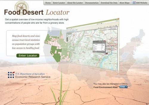
In May the USDA introduced a new tool to help communities, city planners, researchers and policy makers locate “food deserts” in their own backyards. The Food Desert Locator is an online mapping tool that highlights areas classified as “food deserts” across the country. To use the map, enter the locator and zoom in to get a closer look. Click on the areas shaded in pink to see a list of statistics telling you details about the community.
To learn more about “food deserts,” visit the Food Security Learning Center to find out just what makes a community a “food desert,” why they exist, and what creative solutions communities across the country are coming up with to reverse the situation.
Try out the Food Desert Locator at: //www.ers.usda.gov/data/fooddesert/index.htm
Related blog posts: On the Road in Northern California: Lunch Ladies Rule! On the Road in Northern California: Nutrition Banking Is In; Food Banking Is Out

